
Finding People Along South Lake Tahoe Streets
A street-by-street search needs a fixed starting address. Put the house number and street name into El Dorado Online Property Information, save the situs and APN, then follow the current document reference into the Recorder index. The property result is a land record, not a household roster. The deed names parties to an instrument, while a directory or census may identify an occupant for a particular year.
The sequence below keeps each fact tied to the office that created it. It also prevents a mailing address from being mistaken for a residence and keeps voter information within California's approved-purpose rules.
- Search the address in the El Dorado property portal. Save the APN, situs, current document number and date.
- Open the county GIS viewer and select the parcel or the road segment. Record adjoining APNs separately.
- Use the APN or current document number to reach the Recorder-Clerk index. Read the grantor, grantee, recording date and legal description.
- Use My Voter Status only for the requester's own registration, or obtain a voter file through the statutory approved-purpose process.
- For an earlier household, compare the verified directory years, newspaper notices, census images, probate and obituary evidence.
A South Lake Tahoe street directory search becomes stronger when two records agree on the parcel and date. A single name match is not enough, especially where a name is common or a deed records a trust, business, or family member.
South Lake Tahoe Street GIS Search
El Dorado's EDC GIS Viewer replaced GOTNET after March 31, 2026. The service searches by address or APN without dashes and supports partial search with a configured maximum of four suggestions. After zooming to parcel polygons, a reader can click, select, draw, measure, print, and turn layers on or off. A Road Name is query can create a street slice, while point, rectangle, polyline, circle, and polygon tools can select a set of parcels.
The viewer also has a Parcels Within a Distance tool. Its initial buffer is one mile, which is too broad for most block questions. A drawn polygon or placed point with a smaller user-set distance makes the result more useful. Selection can include parcels partly within the shape. The service table is capped at 50 rows per page and the maximum record or selection count is 2,000. CSV export is disabled in the captured configuration.
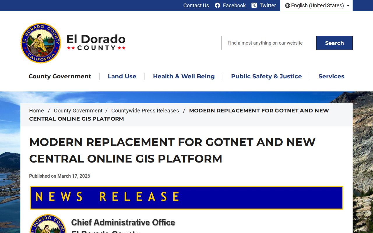
The county GIS replacement announcement explains why older street instructions may no longer match the current viewer.
GIS gives geometry, APNs, parcel addresses, zoning-type facts, tax codes and layer context. It does not give the secured owner name, a list of occupants, or a public voter-by-street browser.
South Lake Tahoe Street Parcel Records
Once a street result is open, the APN is the stable bridge between map, assessment facts, and recorded documents. The county parcel-data page requires the first eight or nine APN digits without punctuation. The address mode uses a house number and street name, with a suffix dropdown. Other modes include assessment number, secured parcel, unsecured account, business owner or name, aircraft, mobile home, and assessor map.
| Field | Street-search use |
|---|---|
| Street Address | House Number and Street Name are required; the suffix is optional or unclear from the exposed control. |
| Secured Parcel Number | Eleven digits in the displayed format 123-456-78-100; use the portal's punctuation rules. |
| Assessment Number | A separate assessment identifier used by the property system. |
| Business Owner's Name | Last name first; it describes business or unsecured property mode, not a secured home-owner lookup. |
| Assessor Map | Three-digit book and page, generally tied to the first three APN digits. |
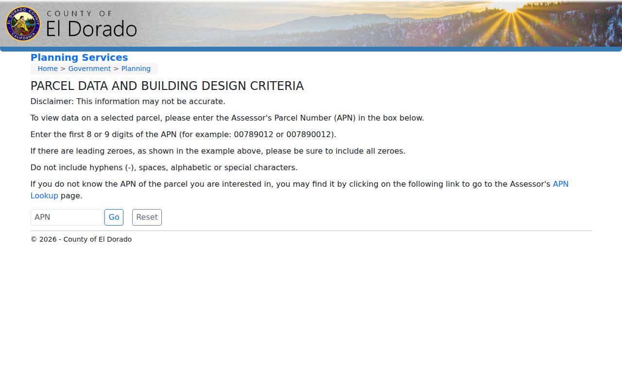
The county's APN entry and format instructions are visible at the Building Design Criteria parcel-data portal.
The online property result intentionally omits secured-property owners. The Local Assessment Roll at an assessor lobby exposes assessee and mailing fields for 2018 to present, but the roll is view-only: notes and photographs are allowed, while printing, saving, downloading, and transfer are not. Standard roll data may be requested, but custom extracts are not promised.
South Lake Tahoe Street Deed Records
Use the APN result to capture the current document number and date. Enter that number in the Recorder-Clerk system, then read the deed's named parties and legal description. To move backward, take the current grantee or seller and search that person as a prior grantee within an earlier date range. Repeat the process while checking spelling variants, trusts, organizations, and the parcel description.
The Recorder offers document number, recording date, both names, grantor, grantee, quarter, section, township, range, document type, and advanced name-search controls. A last name followed by a first initial can broaden the result. Fuzzy or proximity search can catch initials. `*TS*` in legal remarks can locate timeshare references, a useful local quirk in a resort property market.
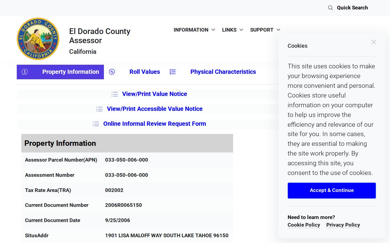
The public civic parcel example shows how a document number, APN, TRA code and historical plats can sit together.
Recorder copy fees effective in 2026 are $3 for the first page and $1 for each additional page, with $2 for certification. Maps use the same first-page and additional-page pattern. The Tahoe Recorder counter is appointment-only on Thursday, 9:45 to 3:30, closed noon to 1:00, and does not accept mail. Placerville accepts mail at 360 Fair Lane.
South Lake Tahoe Records by Street
These address-keyed sources form the working coverage of a South Lake Tahoe street directory. They do not all answer the same question. The parcel and GIS rows locate land, the roll gives assessee and mailing data, the Recorder names parties, permits show project activity, and a lawful voter-file use is narrow and purpose bound.
| Address record | Keeper | What it shows | Access |
|---|---|---|---|
| Situs and parcel | Assessor and GIS | Physical address, APN, geometry, assessed facts | Free online |
| Owner and mailing | Assessor roll | Assessee, tax mailing address, roll fields | Lobby view or request |
| Deed and lien index | Recorder-Clerk | Parties, date, instrument type, legal references | Index plus paid copy |
| Permit or project | City or county | Applicant, contractor, scope and project date | eTRAKiT; boundary matters |
| Voter file | El Dorado Elections | Permitted registration fields | Approved purpose only |
| Reverse directory | Verified editions and reports | Address-associated listing for a known year | Repository research |
The key is the parcel number, not the street label alone. A street name can cross city and unincorporated jurisdiction, while an APN can lead to the correct permit office and deed book.
South Lake Tahoe Street Permit Records
Permit records add a dated project trail to address research. City building and planning applications, resubmissions, inspection requests, payments, and project or permit searches moved to eTRAKiT on April 14, 2025. An account is required to apply or upload material. The exposed official pages do not state the full public field set or the legacy cutoff, so older permit coverage should not be guessed.
Building and Development Services is at 1052 Tata Lane, 530-542-6010. The public counter is open Monday, Wednesday, Thursday and Friday from 8:00 to 3:30, closed noon to 1:00, and closed Tuesday. Engineering handles encroachment, obstruction, commercial grading, and transportation permits. An unincorporated Tahoe-area address uses the county Building Division rather than the city system. The city's Measure T timeline is another date marker for municipal address research.
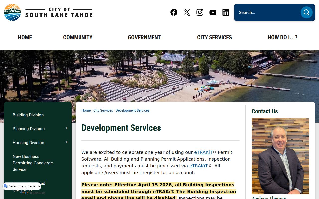
The Development Services transition page identifies the eTRAKiT move.
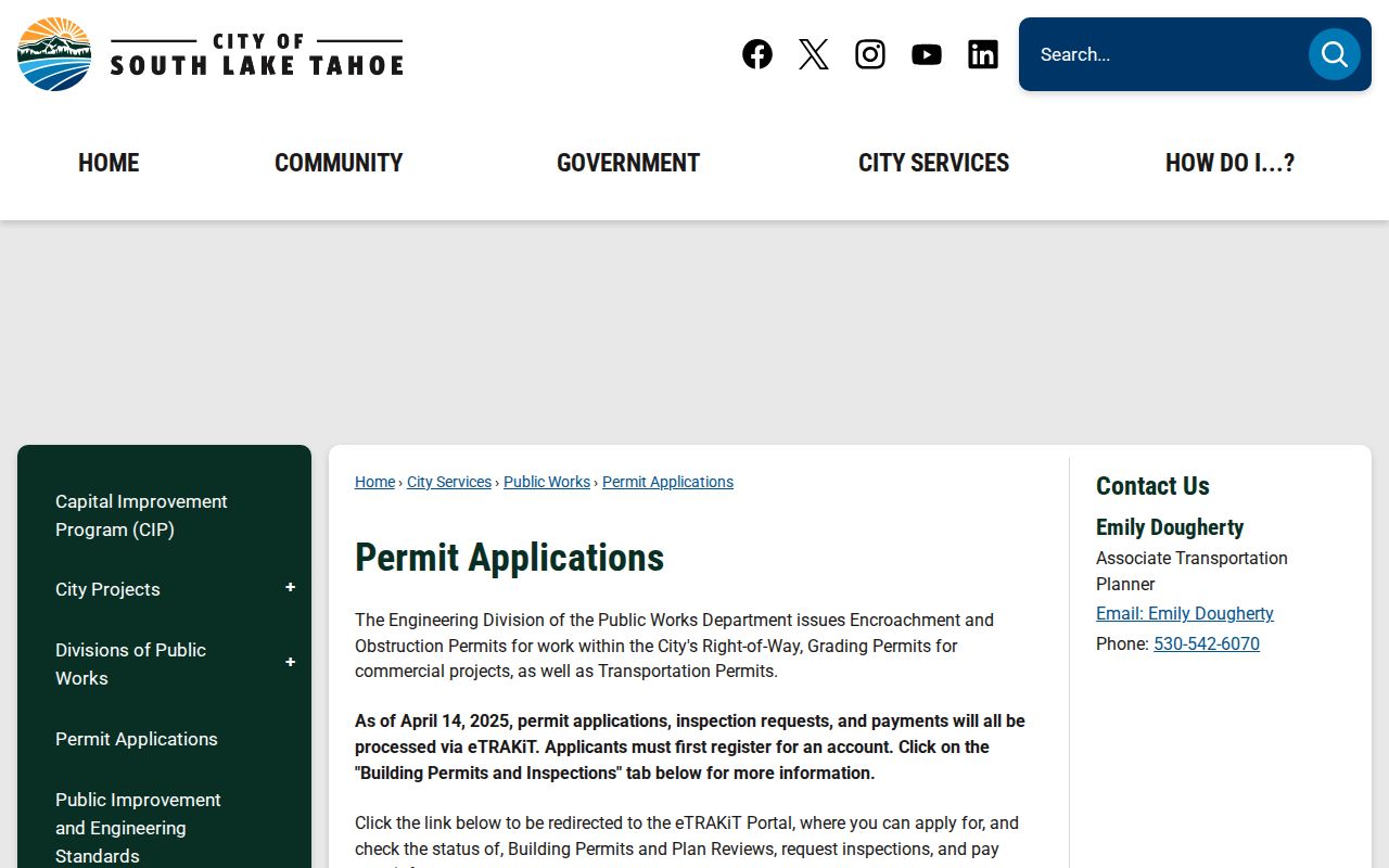
City permit channels and application guidance are also listed on the permit applications page.
An applicant or contractor is not automatically the owner or occupant. Treat a permit as a project clue, then confirm title and address through the relevant land record.
South Lake Tahoe Reverse Directory Years
Printed reverse or criss-cross evidence is unusually useful for street work because it begins with an address. The verified local material is isolated, not a continuous public shelf. Evidence includes a 1979 South Lake Tahoe phonebook, a 1985 Pacific Bell Directory, and Hill-Donnelly City Directory editions from 1989 and 1992. An environmental report searched South Lake Tahoe address listings in 1971, 1977, 1981, 1986, 1990, 1992, 1995, 2000, 2005, 2010, 2014, and 2017.
Those years can show an address-linked business or occupant and a change between editions. A missing name may mean a move, a changed listing, an unlisted household, or a gap in the source. Record the exact printed street spelling, unit, adjacent listing, and year. The broader historical shelf and census pairing are handled on the South Lake Tahoe city directory page.
Note: An isolated directory year brackets a listing; it does not prove an exact move date or a complete household.
South Lake Tahoe Street Research Before 1965
South Lake Tahoe incorporated on November 30, 1965. Upper Bijou development surged in the 1950s, before a city permit series could describe those early homes. For a pre-incorporation street, start with county plats, deeds, assessment records, phone or directory evidence, and census schedules. A search for a city file from that period may fail because the city did not yet keep the record series.
El Dorado County was formed February 18, 1850. State Archives holdings include deeds from 1851 to 1902, homesteads from 1860 to 1937, and other probate, naturalization, birth, death, and marriage series. The archive and Family History Center microfilms can place an early parcel in the county trail even when a South Lake Tahoe street label is newer.
Read the legal description and recorded map with care. A parcel map, record of survey, easement, or lot-line adjustment can explain why an old address no longer matches a modern APN.
South Lake Tahoe Street Lines
ZIP 96150 is not the same boundary as the incorporated city. USPS service includes South Lake Tahoe and Tahoe Valley, and the research notes delivery in unincorporated Meyers, Tahoe Paradise, and Camp Richardson-side areas beyond the city line. A 96150 mailing address therefore cannot choose the permit office by itself.
TRA codes beginning with 002 identify City of South Lake Tahoe parcels in county guidance. The city Plan Area GIS can show planning document, land-use zone, special-area and plan-area zoning attributes, while the assessor street search remains keyed to the physical situs. Carry the APN and city jurisdiction together when a street crosses a boundary.
The South Lake Tahoe Post Office at 1046 Al Tahoe Boulevard uses 96150-9998. Tahoe Valley is at 950 Emerald Bay Road. Those postal facts help normalize a search, but they do not turn a ZIP into an occupancy record.
South Lake Tahoe Street Directory Limits
A parcel map cannot show everyone who lives at an address. The deed does not name non-title household members. The assessment roll can show an assessee and mailing address, but the online system suppresses secured owners. DMV data, utility accounts, protected voters, sealed files, and private rosters remain outside an open street search. Even a voter status result can lag a move or become inactive after list maintenance.
Lawful use. South Lake Tahoe address records are appropriate for personal genealogy, property curiosity, civic research, estate work, and reconnection. Do not use them to stalk, harass, intimidate, or harm anyone. Verify a consequential fact with the named custodian.
A street directory is a research aid, not a license to follow a person. When the question changes from a parcel to one resident, use the one-person workflow on the South Lake Tahoe resident lookup page and stop where the law or a confidentiality program requires.