
Looking Up South Lake Tahoe Neighbors
The block around a South Lake Tahoe address can be studied through several official layers. GIS locates adjoining parcels. The assessment roll can supply assessee and mailing fields at the lobby. The Recorder can show deed parties and legal descriptions. Permits can show project applicants and dates. Chamber directories can supply public business contacts. A voter file is restricted and cannot power an open block browser.
| Source | What it shows about a block | Access |
|---|---|---|
| County GIS | Adjacent parcel geometry, APNs, situs, zoning or tax context | Free online viewer |
| Assessor roll | Assessee and tax mailing address for a parcel | Lobby view or standard request |
| Recorder index | Deed parties, dates, document types and legal descriptions | Index, counter, paid copies |
| Permit systems | Project, applicant, contractor, address and date clues | City or county by jurisdiction |
| Authorized voter file | Permitted fields for an approved statutory purpose | Restricted application |
| Chamber directory | Public business and contact listings | Business directory, not household roster |
A neighbor lookup is strongest when the question is “which parcels touch this one?” It becomes weaker when the question shifts to “who lives inside each home?” The public sources do not have equal coverage of those two questions.
South Lake Tahoe Neighbor Parcel Viewer
Open the EDC GIS Viewer and search by address or APN without dashes. Zoom until parcel polygons appear. Click the subject parcel, note its APN and situs, then click each adjoining polygon. The county service catalog exposes the public parcel layer and related folders for addressing, assessors, BuildingDesign, TRAKIT, VHR, roads, trails, parks, and utilities.
The viewer gives geometry and map context, not owner names. The captured service configuration supports pan, zoom, layers, click, select, draw, measure, print, and a road-name query. A selection can include a point, rectangle, polyline, circle, or polygon. Record the APNs first, then carry them to the assessor or Recorder where a named-party question is allowed.
The El Dorado GIS service catalog is the source for the parcel layer route.
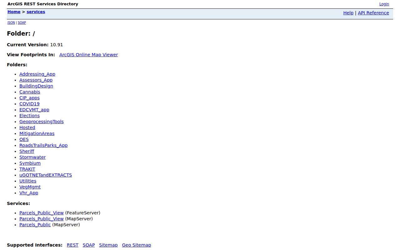
GIS is the visual starting point for neighbors because it can show land that a street-name search might miss, including parcels with different mailing labels.
South Lake Tahoe Neighbor Block Tools
The viewer's selection tools should match the question. For an immediate block, click adjoining polygons or draw a narrow rectangle or polygon. For a radius, place a point or draw a shape and use Parcels Within a Distance. The configured initial buffer is one mile, which is too wide for most neighbor questions. A smaller user-set distance gives a more honest result.
Shift and draw can add to a selection. Ctrl and draw can remove from it. Shift plus Ctrl can select a subset. The table view returns 50 rows per page, the configured maximum selection or record count is 2,000, and CSV export is disabled. Measurement defaults to feet for distance and acres for area.
Block method. Draw the exact road or parcel group first. Keep a one-mile buffer only when the research question truly concerns a wider area.
A selected polygon is a land unit. It does not automatically produce a person record. Save the APN and situs for each selected parcel before moving to another custodian.
South Lake Tahoe Neighbor Records
Carry each neighboring APN to the county property system. Online parcel results can return assessment number, situs, tax-rate area, document reference, land and improvement values, exemptions, and building characteristics. They intentionally omit secured-parcel owners. The Local Assessment Roll at an assessor lobby exposes assessee and mailing information for 2018 to present, subject to view-only rules.
For a deed party, use the current document number in the Recorder index. Read the grantor, grantee, date, instrument type, and legal description. A mailing address may be outside the parcel. A deed party may be an estate, trust, business, or prior owner. None of those labels proves who currently occupies the neighboring home.
| GIS | Shows geometry and APN. |
|---|---|
| Assessor web result | Shows parcel facts and current deed reference; secured owner is suppressed. |
| Assessor lobby roll | Shows assessee and mailing fields for the available roll years. |
| Recorder | Shows named parties and legal land references. |
Mapping a South Lake Tahoe Neighbor Block
A clear block map follows a simple flow: subject address to parcel, parcel to adjacent polygons, adjacent polygons to APNs, APNs to permitted land records, and only then to a question about a named party. The flow separates what the map knows from what a record custodian knows.
- Search the subject address or APN in the EDC GIS Viewer and wait for parcel polygons.
- Click the subject and adjoining parcels, or draw a tight shape that matches the block.
- Record the APN, situs and any planning or tax-area fields for each selected parcel.
- Use the assessor parcel search for facts and the lobby roll when owner or mailing fields are lawfully needed.
- Use the Recorder index for recorded parties and the city or county permit system for project history.
Do not list the selected parcels as a resident roster. A block map is a land and records workflow. Household members, non-title occupants, DMV data, utilities, and private community rosters remain outside it.
South Lake Tahoe Neighbor Geography
Official city planning and local geography references support names such as Stateline, Ski Run, Heavenly, Bijou, Al Tahoe, Sierra Tract, East Y, West Y, Emerald Bay Road, Bonanza, Bijou Acres, Tahoe Sierra, Pioneer Village, Tahoe Valley, Tourist Core, and South Y Industrial Tract. These labels help a map reader describe where a parcel sits. They are not proof of a resident association, roster, or legal neighborhood boundary.
The city Plan Area GIS can identify planning documents, land-use zones, special areas, and plan-area zoning after a parcel is searched or clicked. Named planning areas include Tahoe Valley, Tourist Core, Bijou and Al Tahoe, and South Y Industrial Tract.
The South Lake Tahoe Plan Area GIS page explains the search and click method.
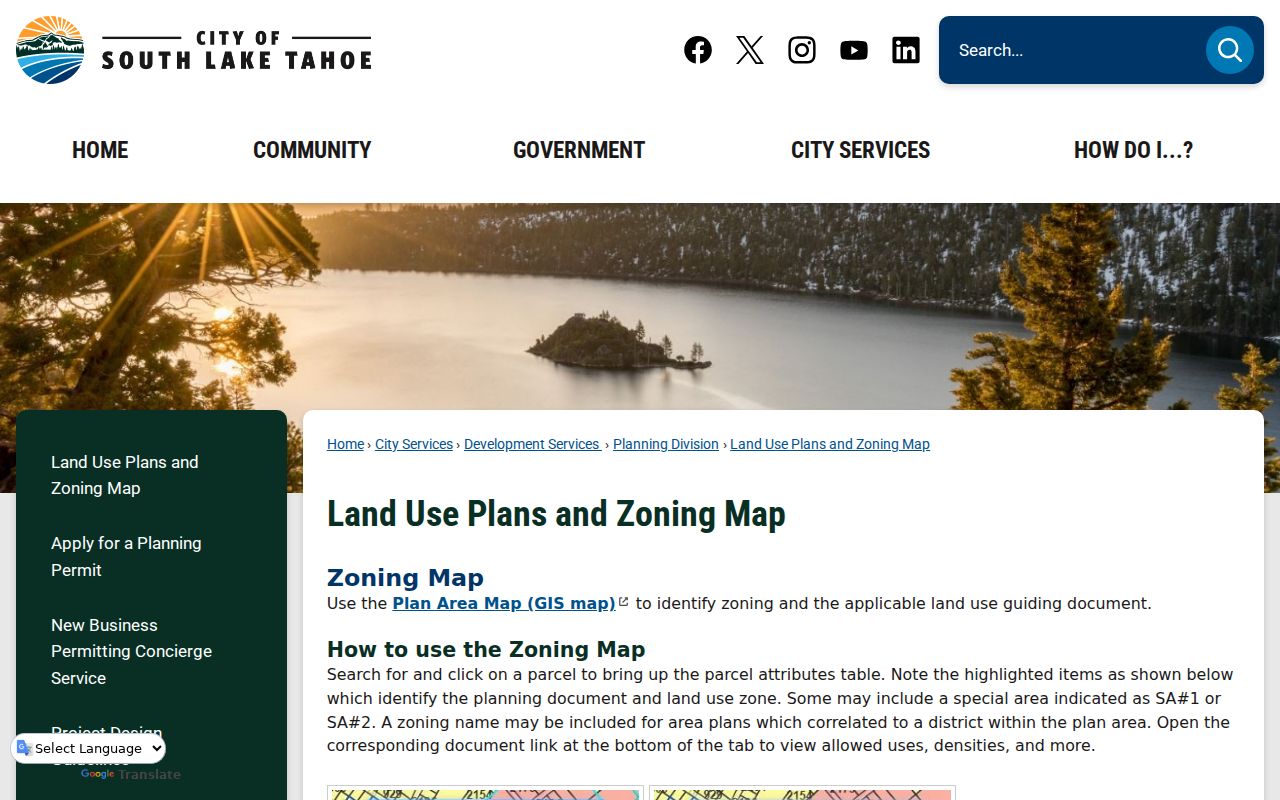
Use a named area to orient the block, then use the parcel and official record for the actual claim.
South Lake Tahoe Chamber, Not Neighbors
The research did not locate a verified citywide neighborhood-association member directory, HOA roster, congregation list, or block-watch membership file. That absence is important. It prevents a public business directory from being described as a household source. The strongest public community layer found is the chamber contact directory, which can help with a business, service, or organization near a block.
| Community source | Public contact layer | What it does not establish |
|---|---|---|
| Tahoe Chamber member directory | Keyword and category browse; business, contact, street or PO box, phone and links | Household membership or residential neighbors |
| South Tahoe Chamber listings | Alphabetical or category business contacts | A resident roster or private association list |
| City planning geography | Named areas and planning context | An association membership roll |
| Private HOA, watch or congregation records | No verified public fielded inventory located | Any claim about membership |
The Tahoe Chamber directory is a public business contact layer. Use it for that purpose and not as a substitute for a neighbor search.
South Lake Tahoe Neighbor Voter Records
There is no open public voter-by-block browser for South Lake Tahoe. California My Voter Status is a personal authenticated tool. A fuller file is restricted to approved election, scholarly, journalistic, political, or governmental purposes. The state application can request residence, mailing, precinct, party, status, district, and participation fields, but driver-license numbers, Social Security digits, signatures, confidential participants, and preregistered minors are withheld.
Participation history says whether or how a ballot was cast. It never says how a person voted. Registration can become inactive after list maintenance and is not conclusive proof of present occupancy. An approved file also cannot be repurposed as a general public neighbor directory.
For a block question, use GIS, parcel and Recorder sources instead. Use voter information only within the statutory purpose and security controls attached to the approved request.
South Lake Tahoe Neighbor Lookup Limits
A South Lake Tahoe neighbor lookup cannot show everyone inside a parcel. It cannot reveal non-title occupants or other household members through the deed index. It cannot open DMV personal information, utility customer data, sealed adoption or juvenile files, confidential marriage records, or a protected Safe at Home address. It cannot turn a permit applicant, business contact, or mailing address into proof of occupancy.
| Record claim | Safe wording |
|---|---|
| GIS parcel | “This APN borders the subject parcel.” |
| Assessor roll | “The roll lists this assessee and mailing address.” |
| Deed | “This instrument names these grantors and grantees.” |
| Permit | “This project lists an applicant or contractor on this date.” |
| Chamber listing | “This business publishes a public contact at this location.” |
Privacy Limits on South Lake Tahoe Neighbors
Public land records support personal, lawful research, but public availability is not permission to follow, alarm, threaten, surveil, or harass a person. California stalking and harassment laws apply to conduct around a record. The California Megan's Law disclaimer also bars harassment. Safe at Home and confidential voter programs exist because a public address can create a safety risk.
Lawful use. Use the South Lake Tahoe neighbors workflow for parcel curiosity, civic review, genealogy, estate work, and safe reconnection. Stop when the source is private or protected. Never use it to stalk, harass, intimidate, or harm anyone.
When the question becomes a full named-street chain, use the South Lake Tahoe street directory route. When it becomes a one-person question, use the record-specific resident lookup and verify the custodian's date and scope.